Nation's First Shelterbelt
Location
Directions
"Nation's First Shelterbelt" is 5 miles east and 1 mile north of the "First Shelterbelt in the United States" marker located on U.S. 238 north of Mangum, Oklahoma. (Road to Shelter Belt/Lake Creek not on Oklahoma State Highway Map. Its the road right next to "First Shelterbelt in the United States" marker.) The Shelterbelt is 1 mile north of Lake Creek monument.
From Mangum, go north on Highway 34 for 11 miles, then east for 5 miles, then 1 mile north. From Granite: Go north on highway 6 for 5 miles, then west 2 miles, then 1 mile north.
From Mangum, go north on Highway 34 for 11 miles, then east for 5 miles, then 1 mile north. From Granite: Go north on highway 6 for 5 miles, then west 2 miles, then 1 mile north.
Regions
Maps
- 35.044617, -99.413017
- OpenStreetMap
- Google Maps
- Bing Maps
- Apple Maps
- MapQuest


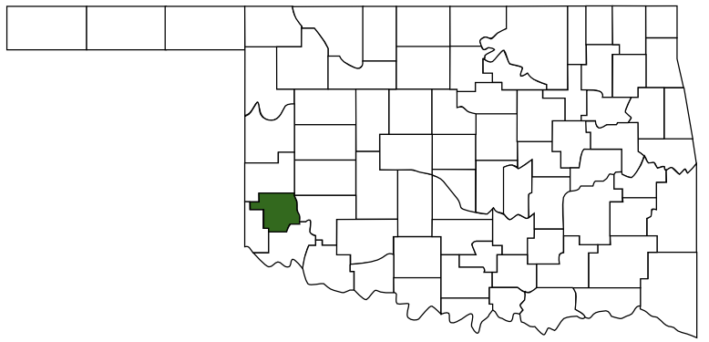
 Greer County
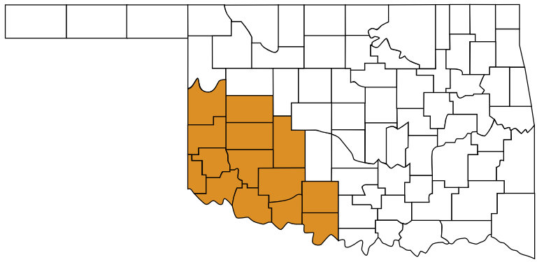
 Great Plains Country
 Oklahoma